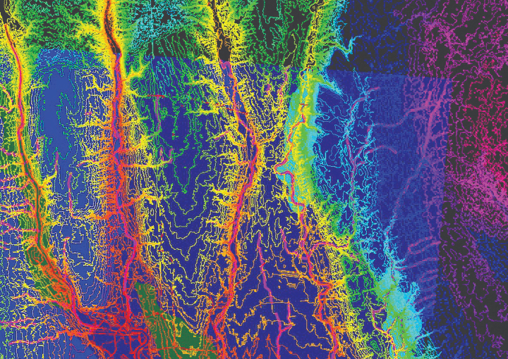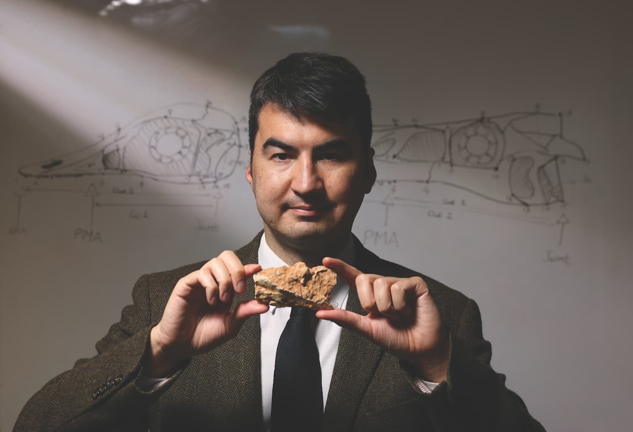
Applied geographers use a variety of techniques to understand and explain human-environment relationships and solve real-world problems. The rapid development of geographic information systems (GIS) and other technologies in the past few decades has greatly expanded the reach of applied geography. Professor Kwan Mei-po, internationally recognised for her ground-breaking work that advanced GIS techniques, is dedicated to finding innovative ways to accurately assess people’s environmental exposures and the impact on their health, with an emphasis to capture individual experience.

Identifying COVID-19 risks over space and time
Returning to her alma mater CUHK in 2019 after a fruitful research career in the United States spanning three decades, Professor Kwan Mei-po has continued to break new grounds with GIS technology. One of her first projects at the University was to use GIS methods to identify high-risk areas and vulnerable groups in the COVID-19 pandemic.
Professor Kwan notes that the COVID-19 transmission in Hong Kong was driven by superspreading events at the early stage, such as a hot-pot family gathering, or a dance cluster. “Using innovative GIS spatial analysis methods and plotting activity data of each infected person on the map, we found these superspreading events tended to happen in a small number of places. These places usually are dotted with dense, old buildings and are mostly inhabited by old people.
“More importantly, we found that 70% to 80% of local COVID-19 cases were concentrated in these few places in the first few waves of the pandemic. The new knowledge can complement the government’s methods in tracing the virus and help policymakers more promptly design effective place-based control measures for reducing transmission risk,” she says. For instance, the government can advise people to avoid visiting high-risk areas and undertaking high-risk activities before the viruses continue to spread. “The methodology and the spatial-temporal perspective would be useful for building pandemic readiness for the future,” she says.
Feminist perspectives
“We are able to combine GIS with qualitative analysis, even to visualise feelings and emotions.”
— Professor Kwan Mei-po
Professor Kwan is recognised for her transformative contributions to geography. In awarding her the Wilbanks Prize for Transformational Research in Geography in 2021, the American Association of Geographers remarked: “Employing feminist perspectives, Dr. Kwan has dramatically altered geo-visualization, the inclusion of qualitative data through geo-narratives, and she has broadened geographic information science beyond a narrow ‘objective’ standard to more humanistic standards that include perceptions, emotions, and behaviour as core concerns.”
“People used to think GIS was only about plotting numerical values on the map, like air pollution, and that’s all. But I said no – we are able to combine GIS with qualitative analysis, even to visualise feelings and emotions,” Professor Kwan says.
In one of her major projects in the United States, funded by the US National Institutes of Health, Professor Kwan used GIS data, spatial statistics and interactive mapping to identify HIV concentration hotspots in Tijuana, a city at the US-Mexican border plagued by the violence of drug cartels and the sex trade. In her field work, she collected and mapped the narratives of female sex workers to understand their working conditions and visualised their fears. The project culminated in the government’s proactive health intervention, such as HIV testing and education to the affected communities.
New dimensions in environmental health
As Director of the Institute of Space and Earth Information Science of CUHK, Professor Kwan is committed to developing the application of innovative GIS methods in researching environmental health, transport and urban planning in Hong Kong and mainland China. “One of the major issues we want to tackle is the uncertainties in individuals’ environmental exposures, such as green space, air pollution as well as COVID-19 risk. Most studies tend to use spatially aggregated data to examine the roles of environmental factors in health outcomes. But using such data may generate misleading conclusions,” Professor Kwan says. “These studies tend to link people’s health to their residential contexts, assuming that the residential neighbourhood is the most relevant area affecting people’s health but ignoring how their mobility exposes them to other contexts.”
“My current major research interest is to integrate environmental science and health and establish a causal relationship between the environment and health so that policymakers can direct resources to the most needed areas and groups.”
Her team is conducting two projects funded by the Research Grants Council on individual environmental exposure and health impact assessment, using Global Positioning System (GPS) tracking and real-time mobile sensing technology. One project focuses on noise and air pollution and their health effects in Hong Kong, Chicago, Beijing, Shanghai, and Guangzhou. The other project, focusing on Hong Kong, considers more environmental factors, including green and blue spaces (rivers, lakes and seas), light at night, air pollution and noise, and comprehensive health outcomes including physical health, mental stress and sleep disturbance.
The team’s mobile sensing technology can sense in real time the exposures that individuals experience every second, momentary subjective perceptions and psychological responses in real life scenarios, enabling more accurate assessment.
Some of the major findings are that mobility-based exposure to green space is significantly higher than residence-based exposure, and that air pollution exposure assessments based on the government’s monitoring stations and the researchers’ real-time mobile have significant differences. The findings suggest policymakers should consider providing more green space in areas outside of people’s residential neighbourhoods instead, and review its biased estimates of personal pollution experience, she says.


